6 routes · 3 days
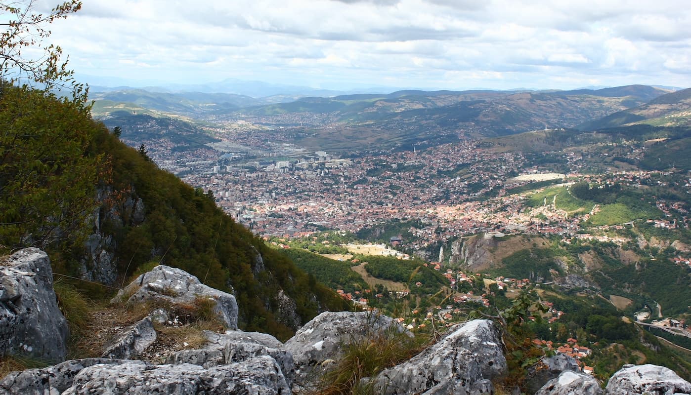
A long weekend from Sarajevo: hills to the northeast, the timber railway above the Misoča canyon, and the Trans Euro Trail toward Lukomir.
Six rides from a Sarajevo base. A day in the hills northeast of town, a day on the old timber railway above the Misoča canyon, and a south day on the Trans Euro Trail toward Lukomir.
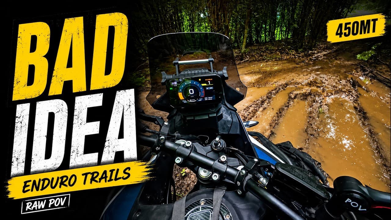
Four rides in the hills northeast of town. Three of them want a mid-size adventure bike or an enduro. Vogošća to Motka Cabin is about 9 km and half an hour: a steady climb onto forest and open hillside, then a faster descent. The Ozren Viewpoint trail is about 16 km and an hour from the Vogošća and Motka area, out to a ridge and back down a loose descent. Motka Peak Loop is about 20 km and an hour, and it is the hard one: flowing gravel, then steep dirt, deep ruts, and a technical forest descent near the summit. Avoid that loop soon after heavy rain. Deep mud can trap a heavier adventure bike, some lines are closer to enduro than a typical ADV trail, and route finding can be confusing. None of those three is tagged for a heavy touring bike. Ozren via Čavljak is the one a big ADV can do: about 41 km and an hour and a half, paved connectors, gravel climbs, and forest trail higher up. On the recorded ride the Crepoljsko shortcut was blocked, so that line is not part of this track. If the upper mountain is iced or a tree is down, turn around.
Misoča Canyon Trail is a separate day in the Ilijaš area, about 52 km and three hours, tagged medium for a big ADV, a mid-size bike, or an enduro. It follows the line of a 1912 timber railway above the canyon: exposed cliff faces beside the river, a rock-cut lookout, and a steep gravel climb. The old railway alignment is narrow, and snow or fallen trees can block it in late winter and early spring.
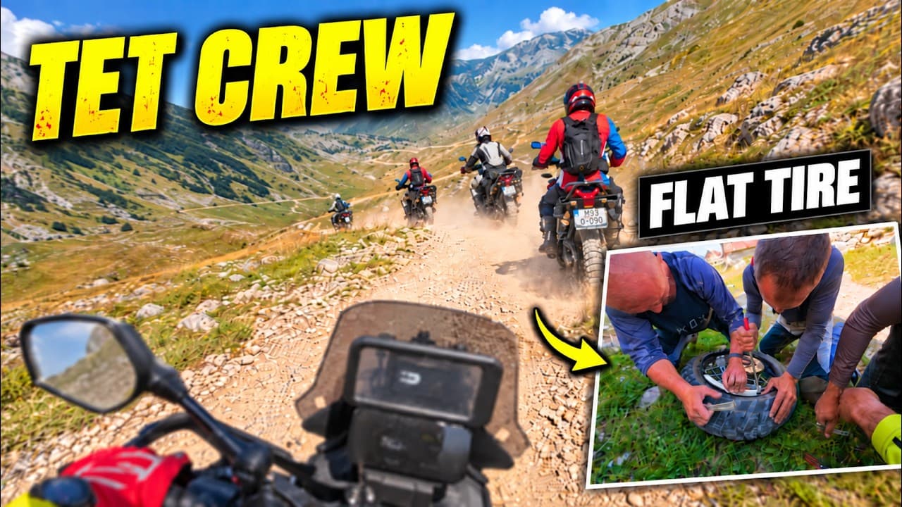
South onto Bjelašnica and follow the Trans Euro Trail toward Lukomir. The published ride is about 47 km and an hour and a half, tagged easy for a big or mid-size adventure bike: gravel, open ridge, and rocky stretches at altitude. It is still remote. Services and cell coverage are limited, the weather changes, and livestock and dogs use the track. This is the day that leaves town for the highland village, not a second lap of the Ozren hills.
Ozren Viewpoint Trail
15.6 km1 hMid ADV, Enduro
Fuel, water, food, and the hazards that change the day. Member and above.
Fuel stops, water, food, and the hazards for this weekend unlock with Member. Supporter has the GPX track where a route is marked Supporter.
Where to sleep, where the fuel runs out, borders, and what to ride if the weather turns. Pro.
Sleep, fuel gaps, border notes, and bad-weather alternates unlock with Pro. Member already has the waypoint notes and the weekend GPX.