3 routes · 3 days
A three-day loop from Sarajevo: over Blidinje to Split and the ferry to Hvar, across the island to Makarska, and home along the Neretva through Mostar.
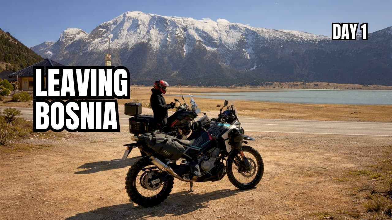
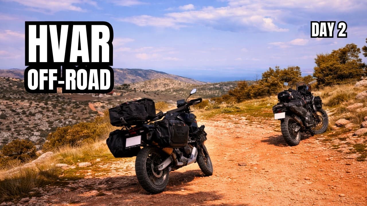
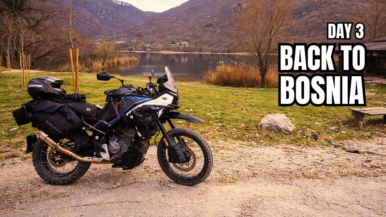
Three days and one loop from Sarajevo, with two car ferries. Day one crosses Blidinje and the border at Kamensko to Split, then takes the ferry to Hvar. Day two rides the length of the island to Sućuraj, takes the ferry to Drvenik, and follows the coast to Makarska. Day three follows the coast and the Neretva home through Mostar.
About 292 km, tagged hard, and the longest day. Leave Sarajevo through Tarčin and over Ivan sedlo, then follow the Neretva past Konjic and Jablanica and climb onto the Blidinje plateau, about 110 km in. Blidinje is high, open ground: it can be cold, foggy, or slippery after rain, so fill up before you climb. From Tomislavgrad you cross into Croatia at Kamensko, then drop through Trilj and Klis to Split. The car ferry runs from Split to Stari Grad, about 21 km of the day on the water. Check sailings and get to the port with time to spare. From Stari Grad it is a short ride over the island to Hvar town.
About 148 km, tagged medium, and the short day. Ride the length of Hvar island from Hvar town past Stari Grad, Pitve, Jelsa, and the eastern villages to Sućuraj at the tip, on paved island roads and Hvar ACT gravel. The gravel gets muddy and slippery after rain, and the island roads are narrow with tourist traffic in summer. The Sućuraj to Drvenik car ferry takes you back to the mainland. Check the timetable and expect queues in peak season. From Drvenik the coast road runs north through Igrane and Tučepi to Makarska.
About 239 km home, tagged medium. Follow the coast road south through Tučepi, Igrane, and Gradac, then the Neretva delta past Baćina and Opuzen. You cross into Bosnia and Herzegovina near Metković and continue through Čapljina and Počitelj to Mostar. From there the line heads north past Konjic, over Bradina and Ivan sedlo, and through Tarčin to Sarajevo. Most of the distance is paved. The Trans Euro Trail sections and unpaved links through Herzegovina can be muddy after rain, and TET corridors can pass marked mine-risk areas, so stay on the established track.
Fuel, water, food, and the hazards that change the day. Member and above.
Fuel stops, water, food, and the hazards for this weekend unlock with Member. Supporter has the GPX track where a route is marked Supporter.
Where to sleep, where the fuel runs out, borders, and what to ride if the weather turns. Pro.
Sleep, fuel gaps, border notes, and bad-weather alternates unlock with Pro. Member already has the waypoint notes and the weekend GPX.